COMMUNITIES
Engaging with diversity across continents and cultures


Country / Community
Activity
Benin
Union des Coopératives de Producteurs de Riz du périmètre irrigué de Koussin-Lélé, UCooP-KL
Chile
Indigenous Association of Livestock Farmers of Guallatire
Croatia
Eko-Gajna cooperative
France
Société d’Intérêt Collectif Agricole
Ghana
Anloga
Jordan
The Bedouin
Mexico
Chan Santa Cruz
Mexico
Ejido Comondú
Nigeria
Ikot Edim
Peru
Comunidad Campesina San Ignacio de Kiuñalla
Philippines
Bayongan Irrigation System
Spain
Sociedad del Monte Blanco
Tunisia
Bir Mahjoub
Uruguay
Calpica
Uzbekistan
Cho'l ota VCA
Algeria
Zawia badriaus
Bolivia
Candelaria de Viluyo
Botswana
Brazil
Chile
China
China
China
China
Colombia
Colombia
Colombia
Dominican Republic
Asociacion de ganaderos Ramon Antonio Tineo
France
Germany
Irrigated agriculture
India
India
Italy
Italy
Kenia
Borana pastoralist
Madagascar
Mexico
Mongolia
Morocco
Tarkddite
Nepal
Paraguay
Romania
Romania
Măcin Mountains National Park
South Africa
South Africa
South Africa
Spain
Sociedad Agraria de Transformación Sierra de Segura de Santiago de la Espada
Spain
Sociedad Agraria de Transformación Pastos de Pontones
Spain
Comunidad Regantes de las Fuentes del Marqués
Tanzania
Tanzania
Meserani
Timor-Leste
Tunisia
USA
Zimbabwe
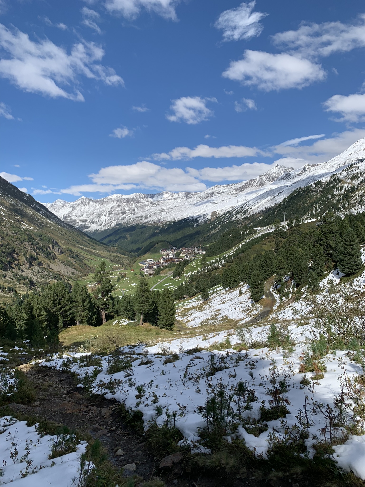
Austria
Agrargemeinschaft Obergurgl
The Agrarian Community of Obergurgl is a traditional collective in Tyrol, Austria. Located within the municipality of Sölden in the upper Ötztal valley, it lies at an altitude of approximately 1,930 meters. This type of agrarian community is based on a historical model of collective ownership and resource use, where farmers jointly manage alpine pastures, forests, and other assets to ensure efficient use and long-term preservation.
The land consists mainly of high alpine pastureland used for sheep, goats and cows. The grazing land is partly used for the members' own livestock, partly for the livestock of other farmers or leased directly to shepherds with their livestock. The land is also leased for tourism purposes, such as ski resorts, which account for most of the farming community's income. Today, the Agrarian Community of Obergurgl is an example of blending tradition with ecological responsibility in the Alpine region.
Researchers
Rike Stotten
Thea Xenia Wiesli
Activity
Short-distance transhumant pastoralism
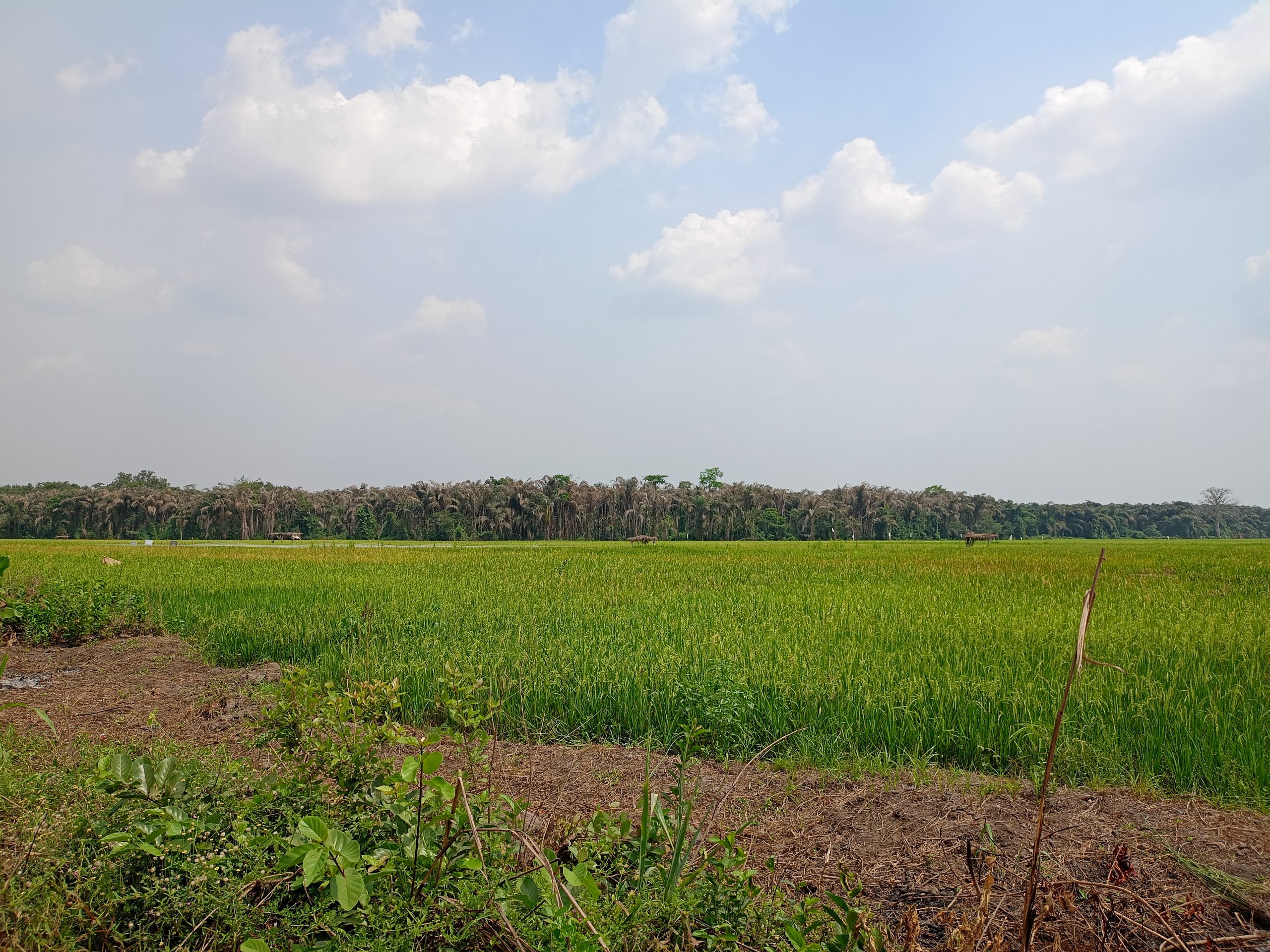
Benin
Union des Coopératives de Producteurs de Riz du périmètre irrigué de Koussin-Lélé, UCooP-KL
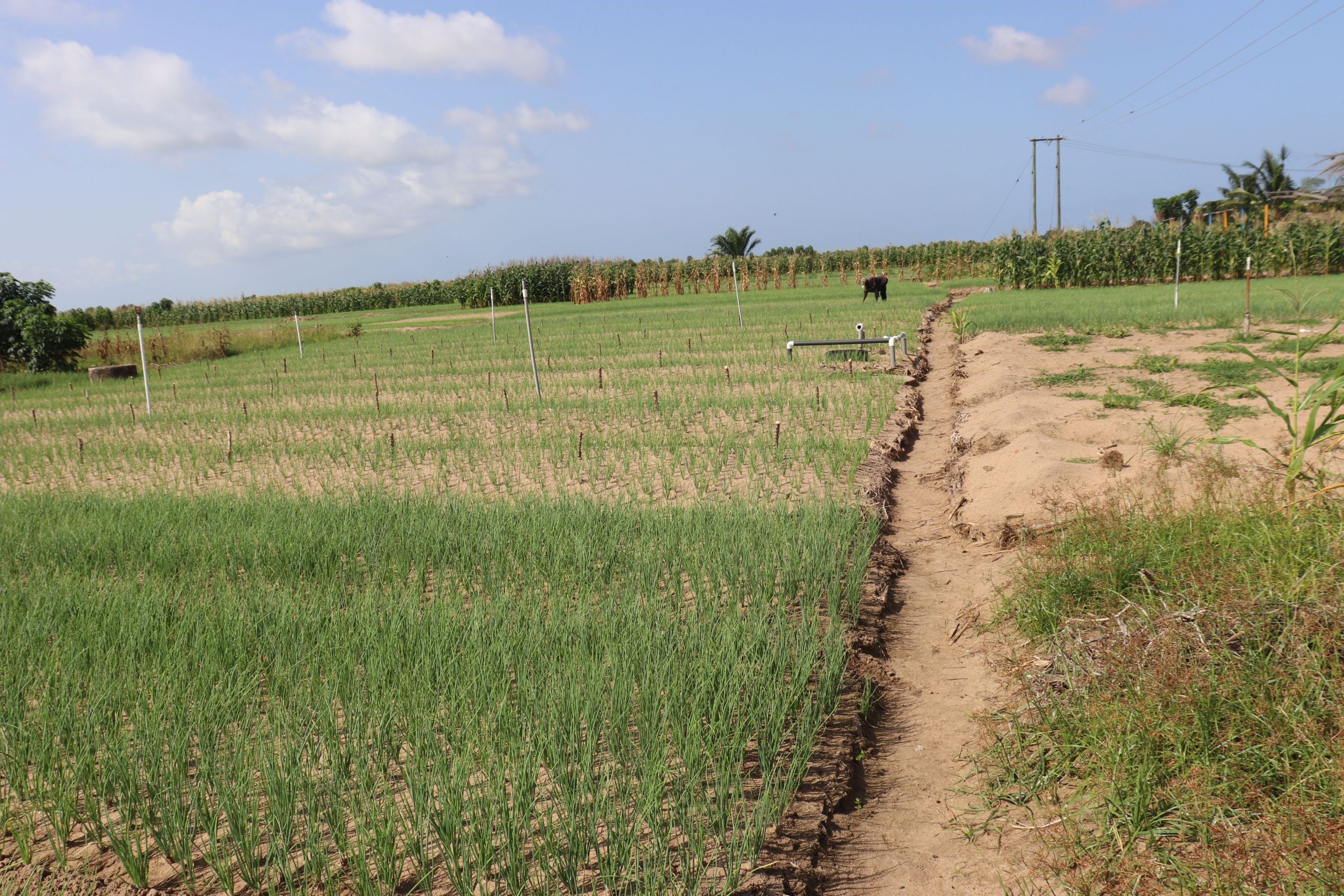
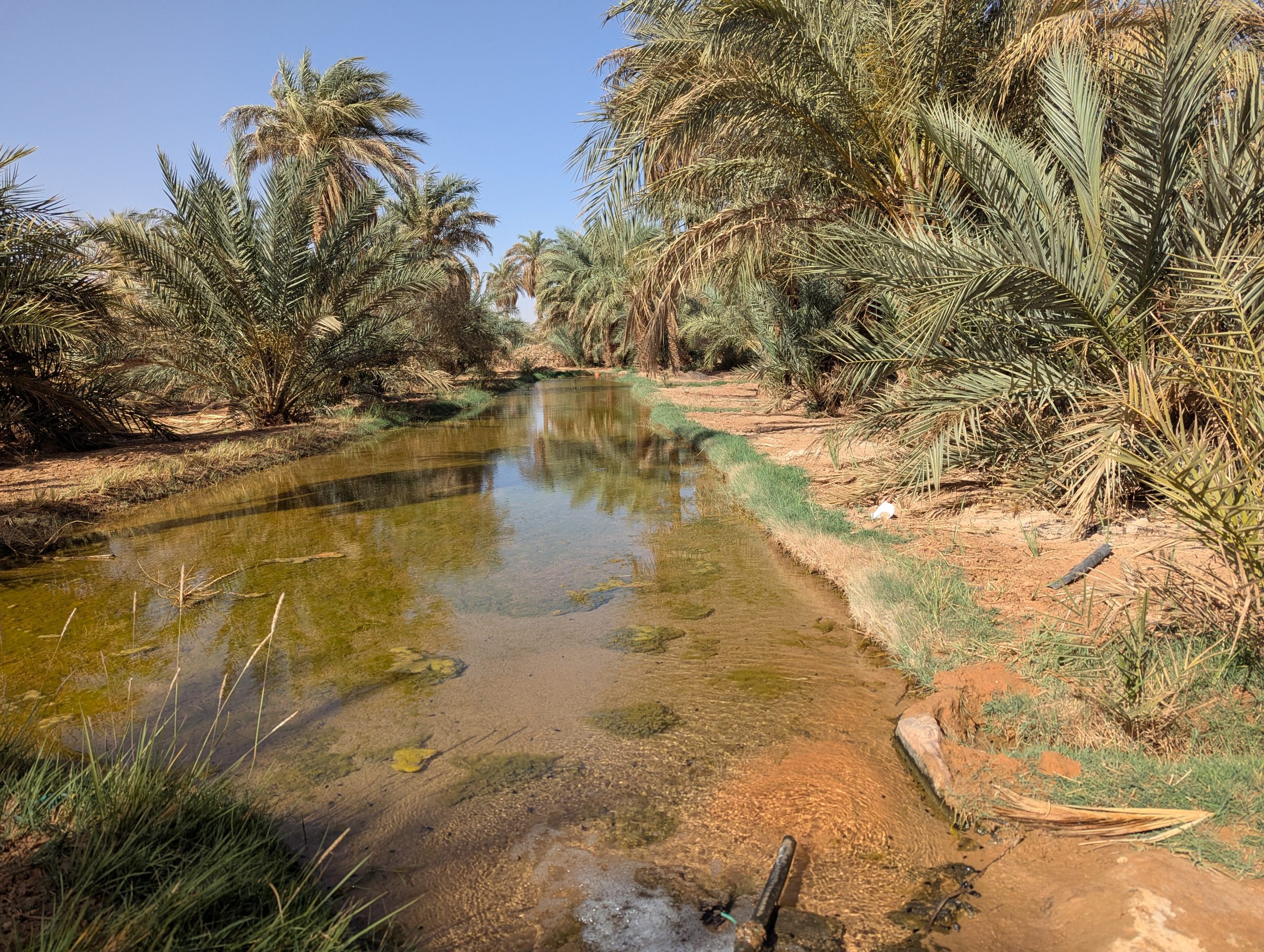
The Union of Rice Producers' Cooperatives of the Koussin-Lélé (Union des Coopératives de Producteurs de Riz du périmètre irrigué de Koussin-Lélé, UCooP-KL) is a community of rice farmers established in early 1969 following the construction of irrigation infrastructure and introduction of rice farming in Koussin-Lélé by a Chinese development
project in collaboration with the government of Benin. The infrastructure is located in Adogbé, Covè, Zou administrative district, Benin. Soon after the Chinese cooperation ended in 1978, rice production declined because of the poor management of the infrastructure. Rice farming gradually resumed after 1984, influenced by the Green Revolution, and became more prominent after the renovation of the irrigation scheme in 1989 through a new partnership with China. Currently, rice production represents the major income source of farmers. A total of 170 local rice farmers are organized into 10 cooperatives, one of which is composed exclusively of women. A management committee of 3 members – President, Secretary, and Treasurer – leads each cooperative, and a Board 12 members manages the entire Union of cooperatives.
UCooP-KL farmers share common natural resources, including agricultural land and irrigation water from two water streams, “Koussin-go” and “Lélé-go”, both tributaries of the “Zou” River. Agricultural lands of the irrigation scheme were originally donated to the government by the initial occupants of the community. Today, the perimeter is expanded from 106 ha in 1969 to 206 ha and remains the property of the district, yet commonly managed by UCooP-KL for rice production purposes. Land access is free for members of the Union, but each member contributes a fixed fee paid to the state per ton of rice produced. Water distribution, however, varies across the production seasons. From September to December, all farmers can irrigate their plots without restriction. During dry seasons (January to March), water discharge decreases, and available water from the two streams can only irrigate 63% of all plots. During this period, water distribution is regulated with a calendar established by the board to define who and when each farmer can receive water in their plots. In addition to the irrigation canals, other shared agricultural infrastructure of the community includes tilling machines, rice hulling machines, drying terraces, and rice stores. Conflicts over access to and use of shared resources and infrastructure are often resolved by the management team. If no mutual agreement is reached, disputes may be brought before the Union's Board of Directors for resolution
Researchers
Akouegnon Ferdinand Ayimasse
Edmon Totin
Activity
Irrigated agriculture
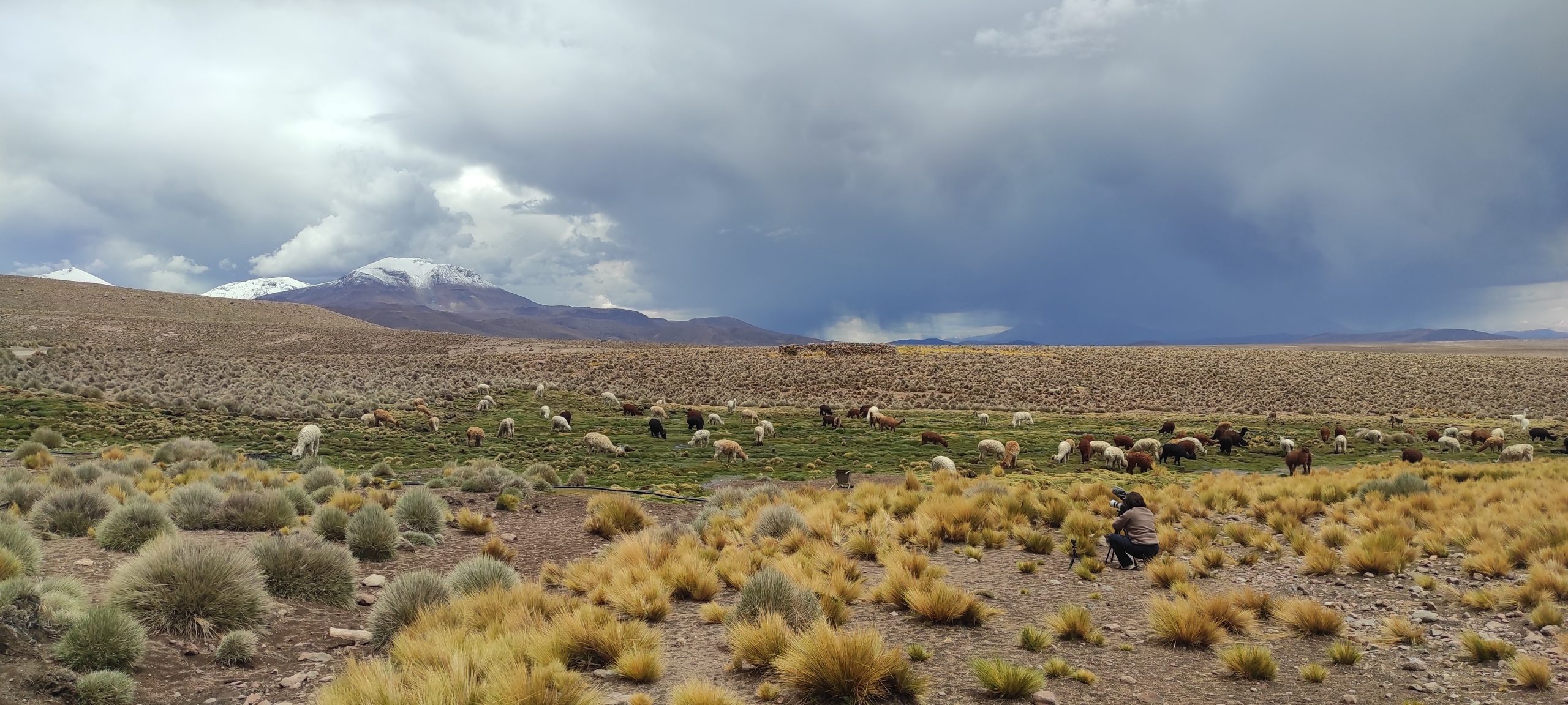
Chile
Indigenous Association of Livestock Farmers of Guallatire
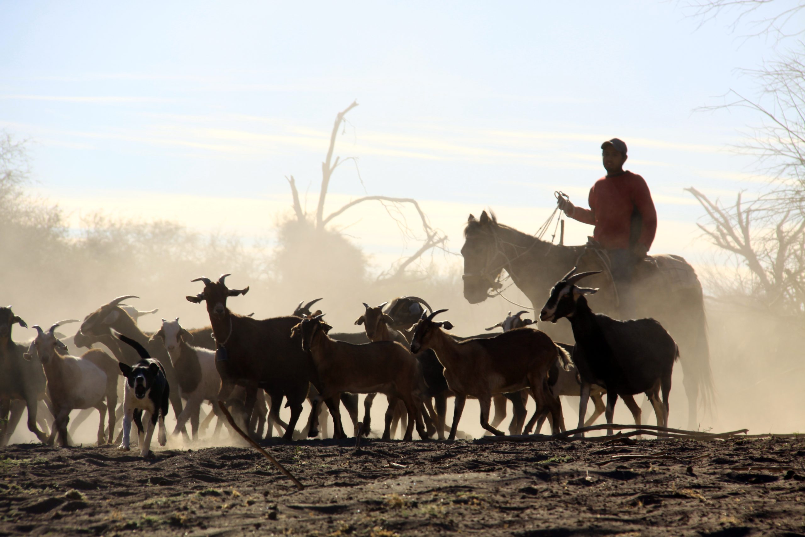
The locality of Guallatire, situated in the commune of Putre (Arica and Parinacota Region), rises imposingly at over 4,200 meters above sea level in the heart of the Chilean Altiplano. Amid Andean landscapes and vast plains, its homesteads or hamlets are distributed around fertile wetlands (bofedales) and grasslands, where the Aymara community continues practicing semi-extensive herding of llamas and alpacas, as they have for generations.
Organized under the Indigenous Association of Livestock Farmers of Guallatire, these herders maintain a deep connection with their ancestral territory, which spans from family-owned lands to protected areas within the Las Vicuñas National Reserve, adjacent to Lauca National Park, recognized by UNESCO as a Biosphere Reserve. Each family manages between 600 and 1,200 hectares, hosting an average of 30 to 300 camelids, including Huacaya alpacas and K’ara and Thampulli llamas.
Camelid husbandry is the community's primary economic and cultural activity, focusing on meat production and the development of fine-wool handicrafts while respecting traditions and ensuring the sustainability of the fragile high-Andean bofedales.
Researchers
Felipe Bravo Peña
Activity
Pastoralism
China

The cooperatives are decentralized associations that self-govern the dike-pond system, with guidance of the government at the town level and Ruxi village at the administrative village level, particularly in administrative affairs, finance management, and policy enforcement. The fish farming rights in the dike-pond system are leased to farmers (including cooperative members and external members). Cooperative members include shareholders and non-shareholders. Shareholders are entitled to receive dividends from collective income and all members have rights to participate in decision-making processes relating to collective affairs.
Each cooperative consists of around 200 to 650 members, corresponding to 60 to 200 families with 3–4 members in each family.
Approximately 10%–50% of the families engage in fish farming by renting ponds from the cooperatives during periodic pond leasehold meetings held every five years. Some cooperatives also allow non-cooperative members to access the ponds; these farmers are not involved in decision-making processes. The main motivation of the cooperatives for pond leasing is to achieve monetary benefits. The cooperatives are responsible for maintaining the collective infrastructure. Fish farming is a significant investment for farmers, offering high profits but also high economic risk. This situation creates a strong financial dependence on ponds for farmers. Typically, each family manages two to three fish ponds, with one to two laborers being involved in fish farming practices.
Researchers
Guangsi Lin
Wenxiu Chi
Activity
Agriculture
Croatia
Eko-Gajna cooperative
The community collectively manages the Gajna grassland for livestock farming. The livestock consists mainly of cattle for meat, but there are also horses and pigs. Most of the animals kept on the pasture are endangered traditional breeds - the Slavonian Syrmian Podolian cattle and the Croatian Posavina horse. The community has been formally organised in a cooperative “Eko-Gajna” since 2007 and consists of small farms from the surrounding villages in the municipality of Oprisavci (eastern Croatia). They use common infrastructure such as: a house where regular meetings of the Assembly members take place (also serves as a visitor centre), stable, viewtower, roads. The most important natural resource is the Gajna grassland (located by the River Sava) with its ponds, which are used to water the livestock. The Sava River floods the pastureland several times a year and the land is rich in biodiversity. There are more than 250 plant species on an area of 270 hectares. The Gajna pasture was protected as “Significant Landscape” in 1990 on the initiative of the local NGO Brod Ecological Society. The members of the NGO are descendants of the farmers, as well as other local inhabitants. The NGO plays an important role in supporting the pasturing community.
Researchers
Lana Slavuj Borčić
Marin Cvitanović
Activity
Pastoralism
Dominican Republic
Asociacion de ganaderos Ramon Antonio Tineo
Researchers
Michael Cox
Activity
Pastoralism
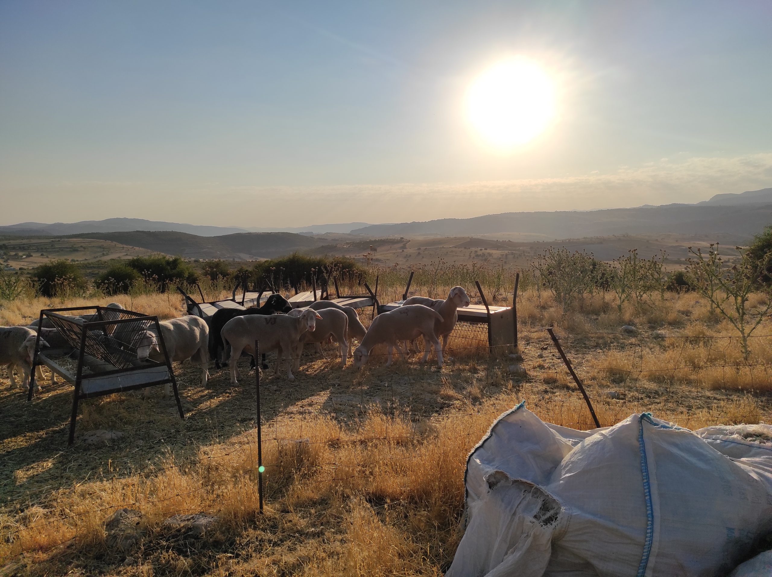
France
Société d’Intérêt Collectif Agricole
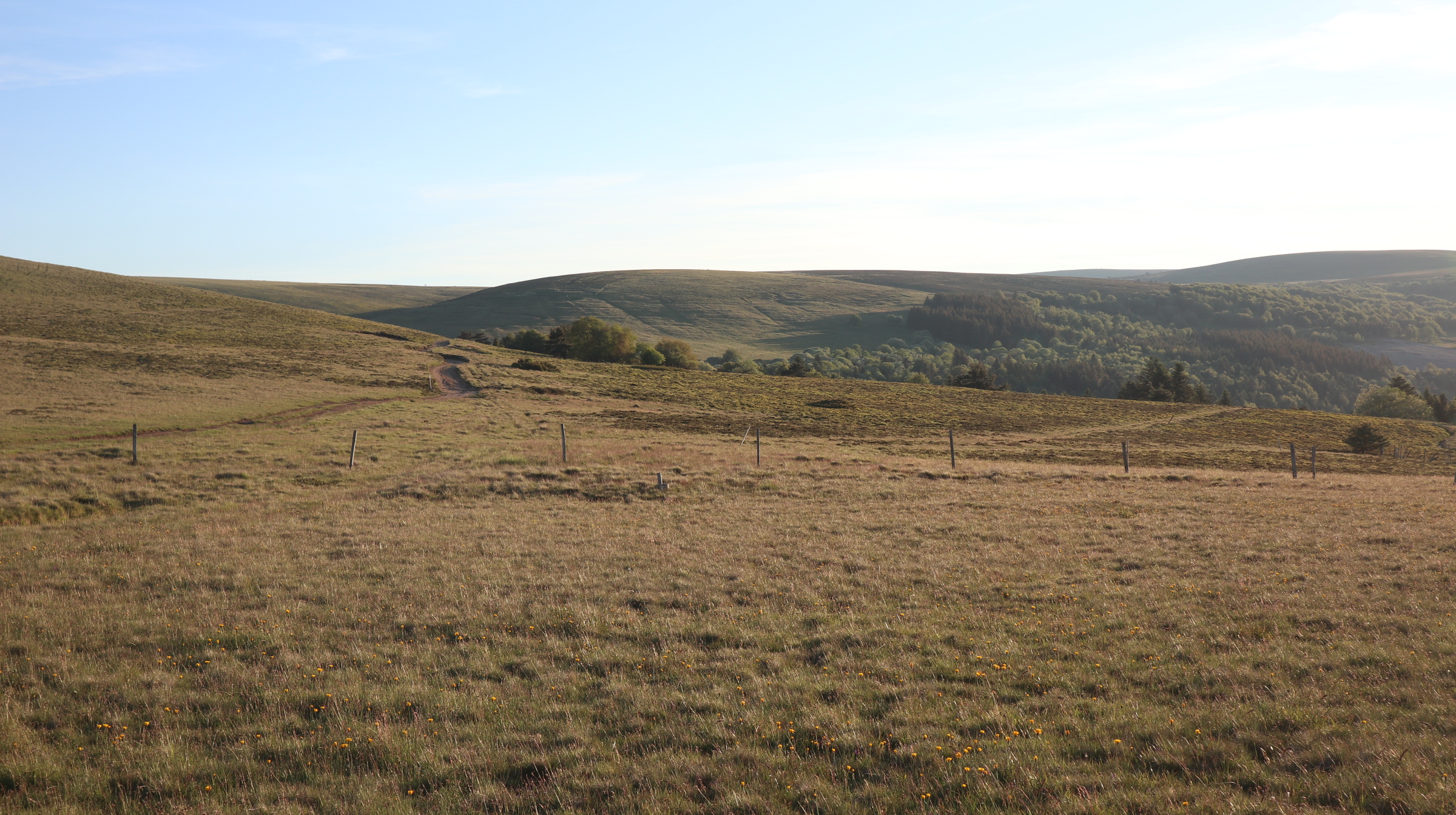
The "Société d’Intérêt Collectif Agricole" (SICA) of Garnier is a cooperative of 35 livestock farmers who share summer pastures in the Monts du Forez, in the Garnier sector (Saint-Bonnet-le-Courreau, Loire 42, France). These mountain pastures are located at an altitude of 1,300 to 1,600 meters and are composed of alpine flora.
The specific geographical location of the SICA’s parcels, near and within protected areas of ecological interest (Natura 2000), requires agricultural practices that preserve the environment.
Each summer, approximately 1,700 sheep (nursing ewes) and 190 cattle (dairy and beef) graze on these pastures, which cover around 560 hectares. A shepherd is employed to manage the sheep and cattle herds from April to October.
Researchers
Augustine Perrin
Activity
Pastoralism
Ghana
Anloga
The Anlo Vegetable farming community is situated in southeastern Ghana and belongs to the Anlo Ewe ethnic group. The community traditionally primarily cultivated shallots and
intercropped with other vegetables and tubers, but now they cultivate fewer shallots. Currently, they grow more tomatoes, spring onions, onions, cabbage, and carrots. Cultivation was done along the banks of the Keta Lagoon and near spring water sources on the mainland. However, these spring water bodies have dried up. The introduction of new irrigation technology has prompted a shift in crop types and allowed cultivation in any available space on the mainland. Until the late 2000s, dugout wells were the main method of irrigation, but from then onwards, tubewells were introduced. This new technology relies on electricity to pump and irrigate the farms, unlike the manual bucket watering system. Currently, fewer people use dugout wells, while more community members operate tubewells. This technological change has also shifted the sharing of water sources from shared dugout wells to groundwater that individual farmers connect to through their tubewells. The community comprises lifelong farmers and retired public servants. The Anlo Vegetable Farmers and Marketers Association is the central organisation, aiming to unify all farmer-based groups. They establish their own rules regarding planting times, chemical use, access to farm inputs, and marketing produce. They also have regulations on groundwater access, with a chief farmer mediating conflicts. The community also depends on the agricultural committee of the Anloga district assembly for technical advice on farming practices.
Researchers
Jonathan Bill Doe
Activity
Agriculture
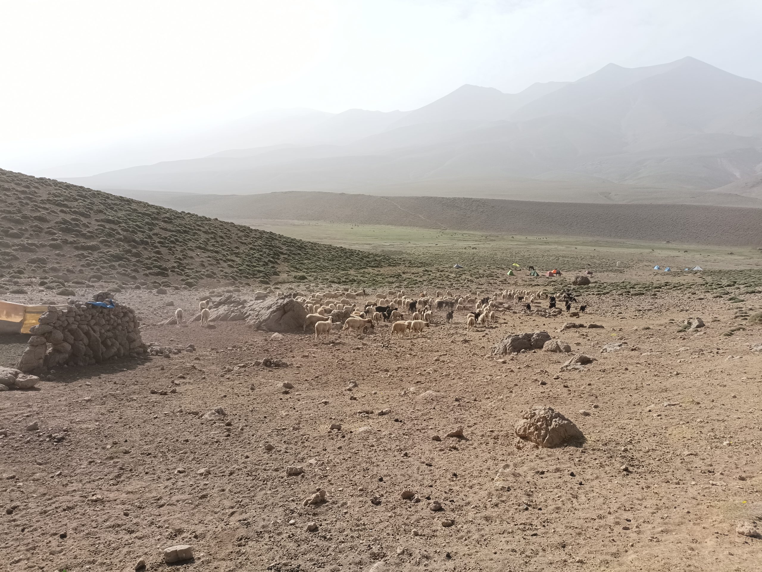
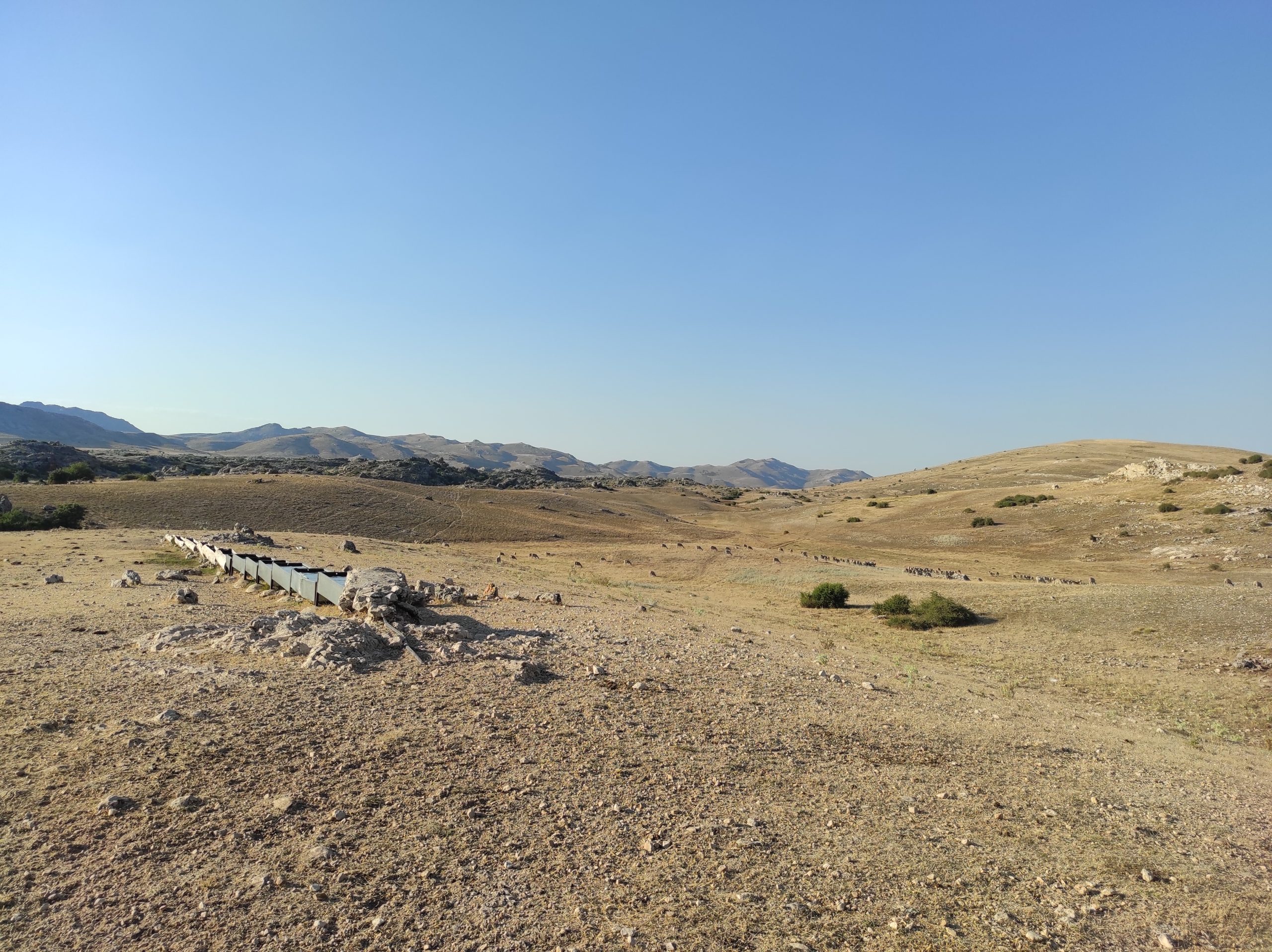
Jordan
The Bedouin
Al-Badia is home to the Bedouins, a term used to describe the Arab nomadic and semi-nomadic communities of the Middle East and North Africa. Traditionally, the Bedouins have relied on herding and livestock breeding as their primary means of livelihood (Al-Jazi, 2023; Bawdi, 2015). Throughout history, Bedouin tribes have been self-organized, self-governed, and independent, playing a crucial role in shaping the cultural and social fabric of the region (Al-Jazi, 2023). Despite their rich heritage, the Bedouin community is often considered marginalized (Kark & Frantzman, 2012). Al-Qatraneh, located in the northwest of Jordan’s Southern Badia, is part of the Al-Karak governorate in southern Jordan (Al-Jazi, 2023). Historically, it has been a key site for pastoral nomads, who camped there during the summer months (Tarawneh & Abudanah, 2013). Its significance also stems from its location along the Al-Hijaz railroad and the historic pilgrimage route (Ministry of Interior of Jordan, accessed 25/5/2024). Today, Al-Qatraneh is home to several Bedouin tribes who have settled there as part of the "Bedouin Sedentarization Programs" (Al-Jazi, 2023). This deep connection to both nomadic traditions and modern settlement makes Al-Qatraneh an essential focal point for studying Bedouin livelihoods, governance, and cultural adaptation in contemporary Jordan.
Researchers
Mai Nusir
Activity
Pastoral nomadism
Mexico
Chan Santa Cruz
The Ejido Chan Santa Cruz is a social organization established in 1956 under the framework of the Mexican Agrarian Law. It is a Mayan indigenous community that manages communal lands primarily used for traditional milpa slash-and-burn agriculture and, to a lesser extent, for cattle raising. The ejido shares water resources from a well and three cenotes (sinkholes). Additionally, the community benefits economically from forestry activities, particularly through the sale of timber. Despite a 1992 constitutional reform allowing ejidos to parcel and privatize land for individual management or transfer, Chan Santa Cruz chose not to participate in the program. The community is governed locally by the ejido assembly and commissariat, alongside a security council responsible for internal oversight. The ejido also shares physical infrastructure, including an assembly house, roads, a water tower, and a health center.
Researchers
Edward Ellis
Activity
Agriculture
Mexico
Ejido Comondú
Social organization created in 1968 that manages communal lands, mainly dedicated to extensive livestock activity (goats and cattle). The Ejido has an assembly hall where they hold regular meetings. Other common infrastructures include some of the water points for the livestock (mainly dams and “tinajas”). They have recently built cabins and palapas for tourism. The Ejido was formalized in 1992, and since then has had an internal statute that has been modified and updated over the years to adapt to changing circumstances. This internal statute establishes the rules for joining the Ejido, the organizational structure, and the rights and responsibilities of the “ejidatarios”.
Researchers
Alicia Tenza Peral
Diego Arahuetes de la Iglesia
Activity
Itinerant pastoralism
Nigeria
Ikot Edim
Ikot Edim is an agrarian community located at approximately 4°39'29" N latitude and 7°48'18" E longitude in Akwa Ibom State, within Nigeria’s South-South geopolitical zone. While specific population data for Ikot Edim is unavailable, the village is part of the Ikpa Ibom Clan in Mkpat Enin Local Government Area (LGA), which comprises 31 villages. According to the 2006 Nigerian National Census, Mkpat Enin LGA had a population of 178,036 and spans approximately 322.35 square kilometres, making it the second-largest LGA in Akwa Ibom State (Mkpat Enin LGA, n.d.). The residents of Ikot Edim are predominantly of the Ibibio ethnic group, indigenous to Akwa Ibom and neighbouring Cross River State. Ibibio is the dominant language, reflecting the area's strong cultural and linguistic heritage.
Ikot Edim lies within Nigeria’s Rainforest agroecological zone, characterised by both disturbed and undisturbed forest ecosystems (Adenle et al., 2020; Bala, n.d.). The region experiences a predominantly bimodal rainfall pattern with clearly defined rainy and dry seasons, and an average annual temperature ranging from 23°C to 31°C (Ekanem & Umoh, 2024). The area is also endowed with fertile Luvisols—soils with sandy loam top layers and sandy clay or clay loam subsoils—supporting diverse agricultural activities (Bala, n.d.). These favourable agroecological conditions underpin the community’s agricultural economy.
Agriculture is the backbone of livelihoods in Ikot Edim, with most residents engaged in smallholder farming on plots of less than one hectare. Key crops cultivated include cassava, plantain, coconut, palm fruit, and various vegetables. These crops support subsistence and commercial needs, contributing significantly to household food security and income generation. Farming practices remain largely traditional, with low levels of mechanisation. Land preparation, planting, and harvesting are typically done using simple tools such as hoes and cutlasses. Due to the community’s relatively low population density, shifting cultivation and bush fallowing are still widely practiced. These land use strategies are regulated through customary institutions, particularly the village council, which oversees land tenure, access, and dispute resolution.
Beyond farming, the surrounding forest significantly sustains local livelihoods by providing non-timber forest products (NTFPs) such as medicinal plants, wild fruits, and household-use materials. Community access to these forest resources is governed by customary norms enforced by the village council. Integrating ecological resources, traditional farming systems, and community-based governance structures forms the backbone of Ikot Edim’s socio-economic and environmental sustainability.
Researchers
Blessing Akpan
Collins Izuchukwu Igboji
Activity
Rainfed agriculture
Peru
Comunidad Campesina San Ignacio de Kiuñalla
The “Comunidad Campesina San Ignacio de Kiuñalla” was recognized on March 3, 1983, however, its possession of the territory dates back to 1969. The grasslands, Andean forest and lands in Kiuñalla are communal. However, agricultural land is managed privately, by assignment to each family. The grasslands and forest provide water to the community for consumption and agricultural use. The community is agricultural, but they also have livestock that graze in the grasslands and forest. Kiuñalla is located in the tourist corridor of the Choquequirao Archaeological Complex.
The community has a Board of Directors and General Assembly to make decisions. In addition to a Service and Sanitation Administrative Board for irrigation issues. The management documents are the statute, the minutes of the general assemblies, the communal register, irrigation role and the Andean forest restoration plan. They have worked on a Life Plan for the period 2019 – 2030 where they define their strategic objectives.
Researchers
Isabel Guerrero Ochoa
Activity
Agriculture
Philippines
Bayongan Irrigation System
The Bayongan Irrigation System, located in Ubay, Bohol, Philippines, is a vital agricultural infrastructure that supports the irrigation needs of local farmers. The system covers thousands of hectares of rice fields, providing a reliable water source that boosts agricultural productivity in the region. In Ubay, where rice farming is the primary livelihood, the irrigation system is central to economic stability and food security. Beyond rice, it also supports the cultivation of various crops, contributing to the diverse agricultural landscape of the area. The local community, made up of hardworking farmers, depends on the system for consistent crop yields and income. The Bayongan Irrigation System plays a significant role in enhancing resilience to climate challenges, ensuring that agricultural activities continue even in dry seasons. It is a cornerstone of the region’s economy, improving the well-being of farmers and fostering sustainable agricultural development in Bohol.
Researchers
Ellanie R. Cabrera
Valerien O. Pede
Activity
Agriculture
Romania
Măcin Mountains National Park
The Măcin Mountains National Park was established in the year 2000 and includes a part of one of the oldest mountain ranges in Europe. Scientific interest is primarily focused on geological, botanical, and zoological research. Although there are no human settlements within the park, six villages and one town are located nearby, their communities being closely linked to the area's natural resources. These resources include surface water, with five permanent springs, groundwater, pastures, and forests that cover most of the park's area. The region is home to a mosaic of cultures, with local communities including Romanians, Turks, Tatars, Italians, Greeks, Armenians, Roma, and Lipovans. Agriculture is the main economic activity, with cereals being the dominant crop, followed by oil crops. Animal husbandry also plays a crucial role, and it focuses on dairy cows and the rearing of sheep and goats for both dairy and meat production. Tourists visit the park throughout the year, drawn by its natural beauty and opportunities for hiking, camping, and exploring its landscapes.
Researchers
Sabina Vlad
Activity
Agriculture
Pastoralism
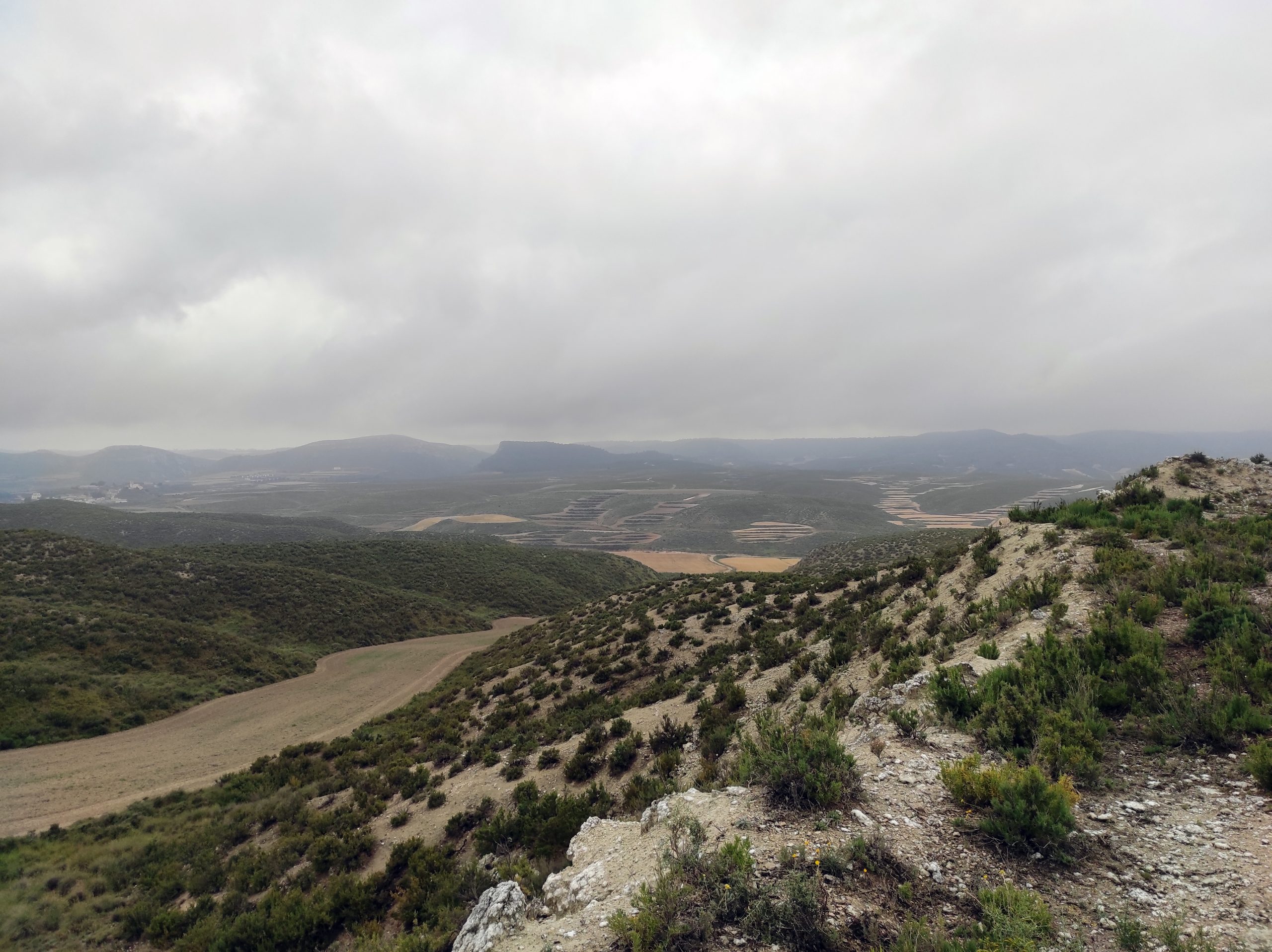
Spain
Sociedad Agraria de Transformación Sierra de Segura de Santiago de la Espada
Researchers
Resilient Rules core team
Activity
Long-distance transhumant pastoralism
Spain
Sociedad Agraria de Transformación Pastos de Pontones
Researchers
Resilient Rules core team
Activity
Long-distance transhumant pastoralism
Spain
Sociedad del Monte Blanco
Social organization that collectively manages land mainly for agricultural and livestock use. The agriculture practiced in the society is rain-fed, mainly cereals. The livestock is mainly sheep for meat. Both activities are interrelated, as crop stubble is used by livestock and livestock manure contributes to the fertilization of agricultural land. The community has infrastructure that is shared and managed by the community itself, such as water troughs for livestock, roads, and “parideras”. The maintenance of this infrastructure is financed on the one hand by the fees paid by the members of the association (per hectare in the case of agricultural farmers and per head in the case of livestock farmers) and on the other hand by the municipality. This society has written rules, contained in statutes (dating back to the 19th century), which define, among other things, who can be a member of the society, the rights and obligations of the members, the organizational structure of the society itself and the decision-making processes. Any male or female resident, registered or born in Castejón de Monegros can be a member of this association.
Researchers
Resilient Rules core team
Activity
Rainfed agriculture and pastoralism
Spain
Comunidad Regantes de las Fuentes del Marqués
Researchers
Resilient Rules core team
Activity
Irrigated agriculture
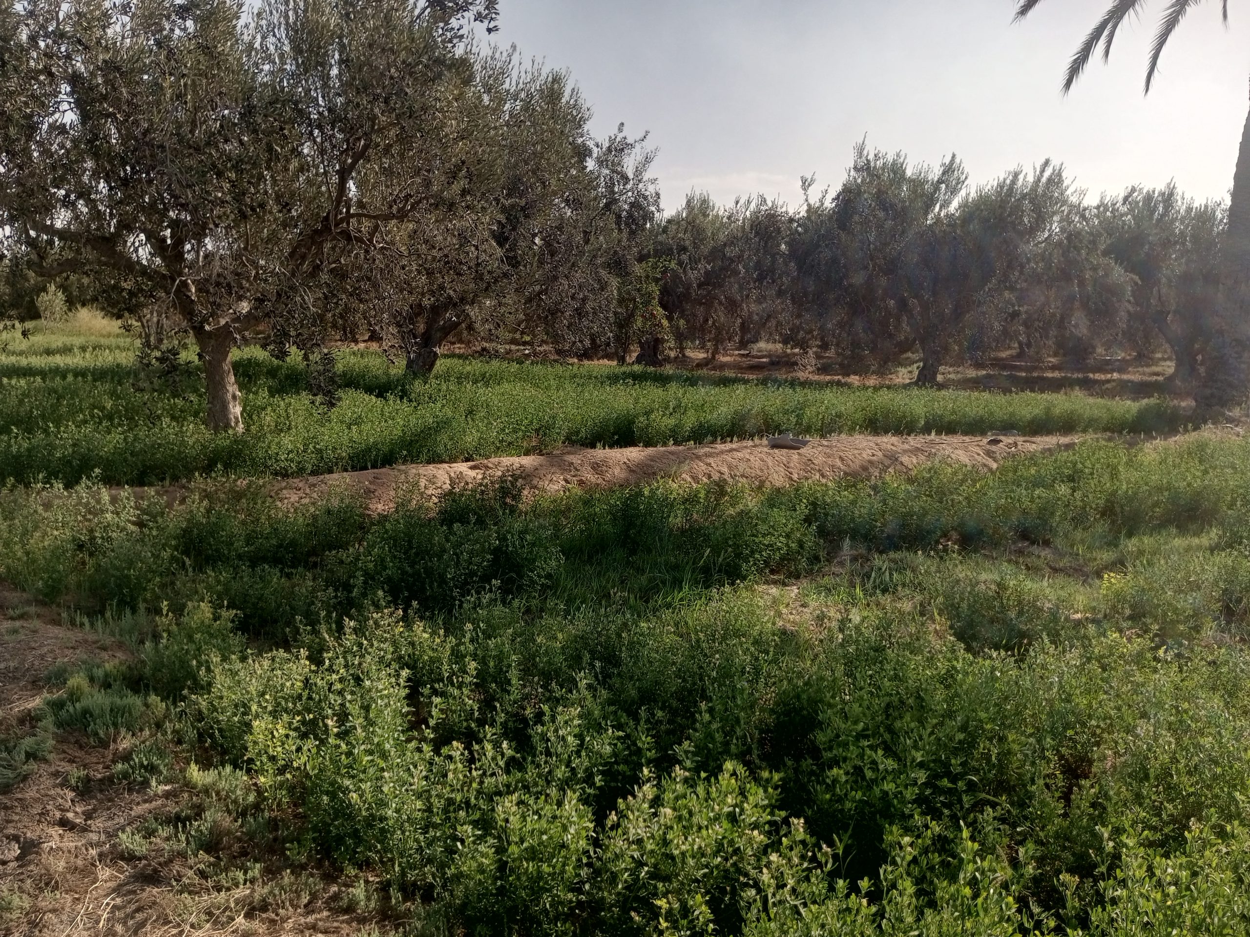
Tunisia
Bir Mahjoub
The GDA (Group for Agricultural Development) of Bir Mahjoub is a social organisation founded in 1966. It is a coastal oasis located west of the village of Gannouche on the Gulf of Gabes in south-eastern Tunisia. It is located about 7 km north of the city of Gabes on the National Road 1. The total agricultural area of the commune is 374 ha, mainly devoted to irrigated crops and sedentary livestock farming. The GDA mainly manages the common aquifer, where it usually digs (one or more) deep wells with high debits and manages them on behalf of all the affiliated farmers. The GDA operates according to an internal statute that defines the rules for joining the association, the organisational structure and the rights and obligations of the GDA. It also sets out its specific internal rules for water sharing between farmers, based on water availability, demand and other technical characteristics of the irrigation canal.
Researchers
Aymen Frija
Hassen Abdelhafidh
Activity
Irrigated agriculture
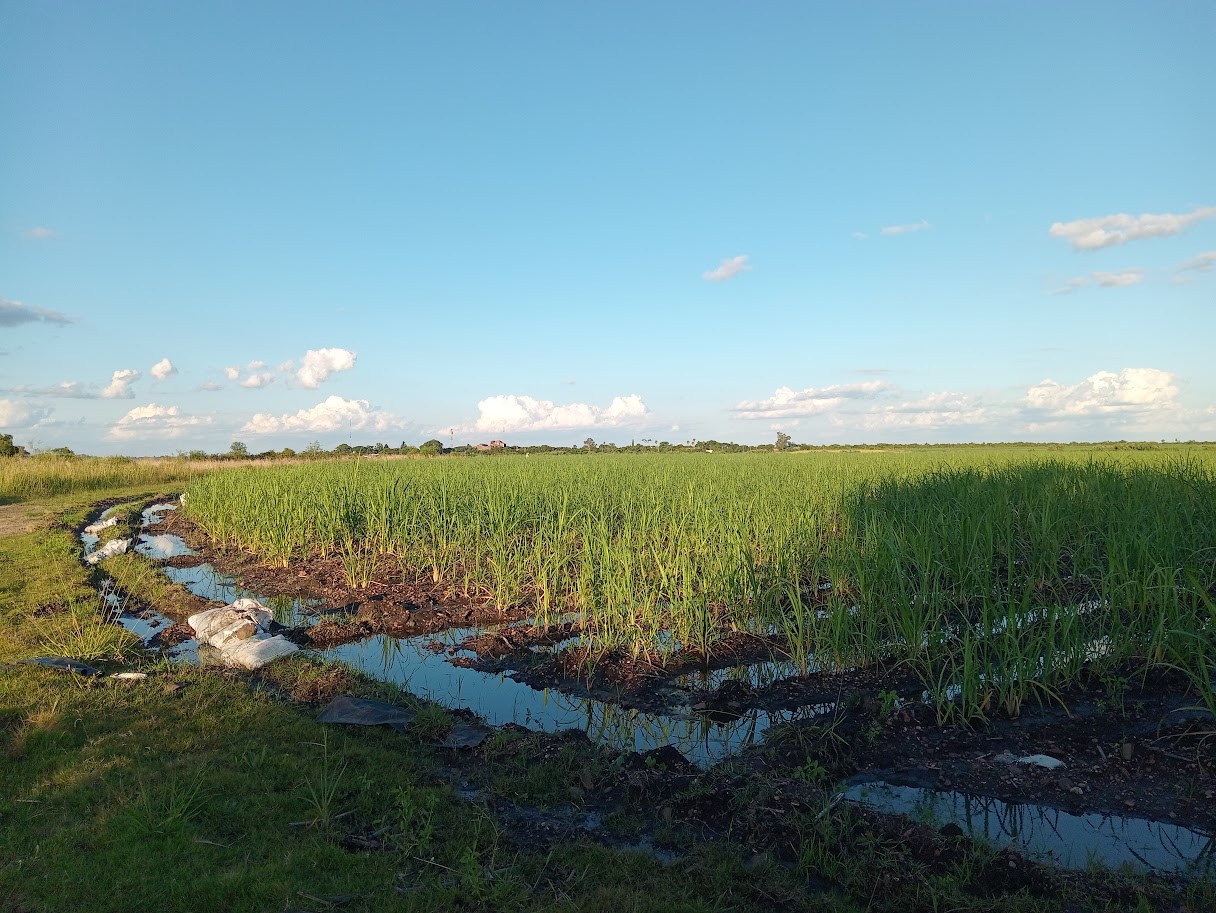
Uruguay
Calpica
CALPICA (Cooperativa Agropecuaria Limitada para la Irrigación de la Caña de Azúzar) is a cooperative located in northern Uruguay, dedicated to the managment of water for the irrigation of sugar cane (2000 ha) and rice (150 ha), mostly for small producers. The Uruguay River is the source of water for irrigation. The infrastructure funding is provided by the state company ALUR, which buys the raw material from the producers (sugarcane) through a budget that is negotiated annually between CAPICA, ALUR and the producers. At the end of each season, ALUR deducts the corresponding irrigation costs from the payment for raw material to each producer. Calpica has a board, an assistant secretary and an irrigation manager, who hold the decisión making authority. Most of the irrigators (users) are not members of the cooperative, but participate in the negotiation of the annual budget.
Researchers
Maria Eugenia Amorós
Activity
Agriculture
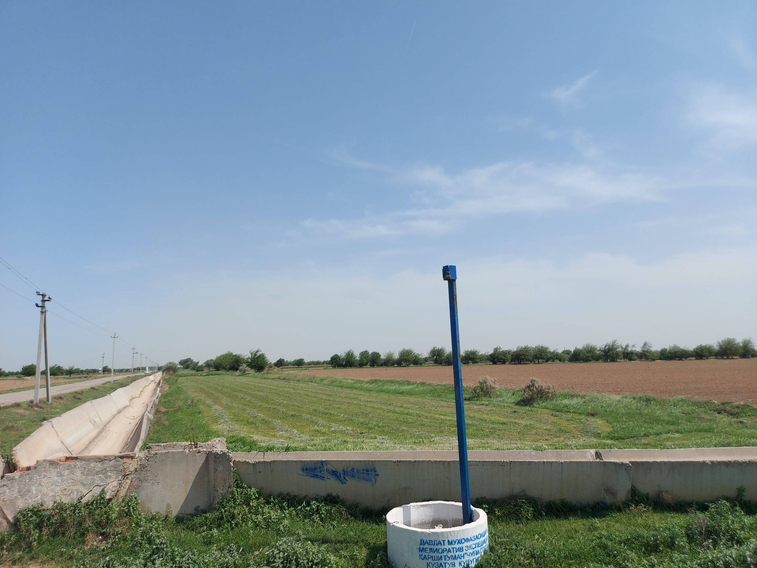
Uzbekistan
Cho'l ota VCA
The Karshi Main Canal is located in the Karshi district of Uzbekistan. The area has undergone various periods of transition, from pre-Soviet subsistence farming to Soviet and post-Soviet state-dominated agricultural systems. The main crops are cotton and wheat, with a recent shift towards intensive orchards. The area is supplied with water from the Amudarya river using highly energy-intensive pumps. Until 2017, about 15 Water Consumers Associations (WCAs – community-based approach) provided irrigation water to farmers. Due to persistent problems with WCAs such as lack of funding, poor leadership and absence of legal framework, all 15 WCAs had gone through “optimization” process and were merged into one WCA in 2017. The outcome was still perceived as negative and as a result, since 2022, a state-governed agency, Water Distribution Service, provides water to about 300 individual farmers in the district. The communities in the district practice khashar to jointly maintain irrigation and drainage canals. Due to aridity, the area suffers from severe water scarcity and prolonged drought.
Researchers
Ahmad Hamidov
Activity
Irrigated agriculture
Resilient Rules has received funding from the European Research Council (ERC) under the European Union's Horizon Europe programme (ERC Consolidator Grant No 101044225 )